

SEAF in the Pilbara
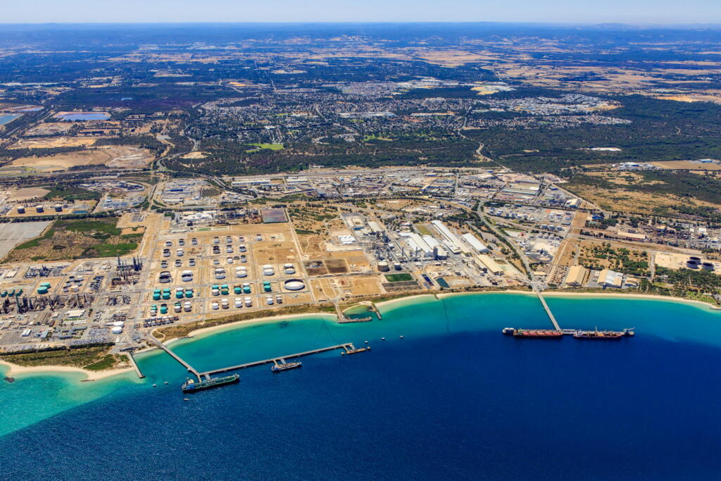
The Pilbara, in Western Australia, has extensive Native Title, cultural and economic significance, contributing 78% of State and 32% of national export revenue.
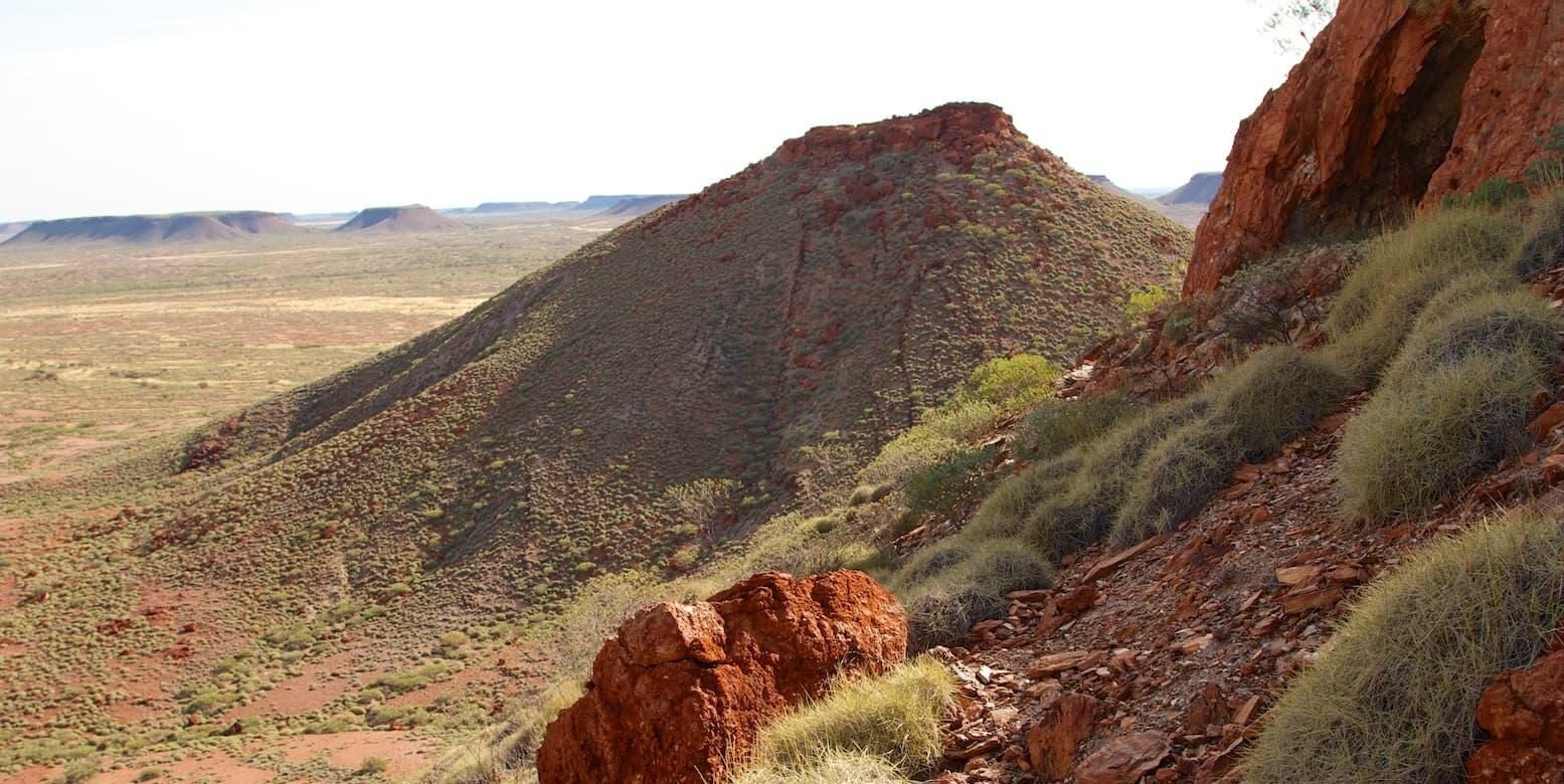
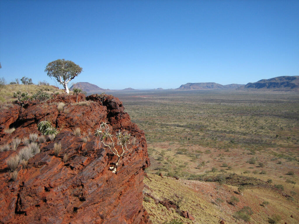
It is also a nationally significant biodiversity region, characterised by high levels of endemism across flora, terrestrial fauna and subterranean ecosystems. Many species persist in spatially restricted habitats such as gorges, caves, wetlands and long-lived riparian systems, making them particularly sensitive to disturbance.
The region faces long-standing and expanding pressures from mining, infrastructure, pastoralism, invasive species, altered fire regimes and climate change. Environmental impact assessments for further development are complex due to these pressures and the region’s significant cultural heritage values.
SEAF will strengthen environmental assessments and support long-term stewardship of this ecosystem by ensuring decisions are informed by the best available data and modelling. Developed by WAMSI and WABSI, SEAF provides a shared, trusted mechanism for interpreting environmental data and delivering consistent, transparent, science-based analytics for government, regulators, industry, researchers, Traditional Owners and the community.
SEAF represents a shift toward collaborative, data-driven decision-making. For the Pilbara, this includes:
- Improved visibility of cumulative impacts across developments
- More efficient, transparent environmental assessments
- Stronger alignment between science, policy and community expectations
- A robust foundation for long-term environmental stewardship
Science Enabled Decisions
Two regional pilots are currently operating in the Pilbara.
The vision for science in the Pilbara is to deliver timely, decision-ready information to strengthen and accelerate cumulative environmental impact assessments for regulators and industry.
SEAF strengthens environmental decision-making by establishing a shared, science-based foundation for understanding system function and response to change. Using best available public and private datasets, it integrates common data sources, validated models and collaborative analytics to improve visibility of environmental trends, support transparent assessments and enable long-term stewardship across industry, government and community.
The Pilbara regional spoke is delivering integrated groundwater datasets across subregions to develop proof-of-concept, catchment-scale groundwater models. This improves understanding of groundwater movement, supports more accurate modelling outcomes, and enables assessment of cumulative effects from multiple developments within a catchment.
SEAF will progress toward regional assessments enabled by shared data and analytics, alongside regionally specific science and analytical products, including:
- Regional maps of species extent and distribution (e.g. northern quolls, bilbies, ghost bats and Pilbara leaf-nosed bats)
- Regional fauna habitat connectivity models
- Population viability models
- Regional mapping of flora, vegetation, fauna habitat and distribution
- Regional flora species habitat suitability models
- Integrated catchment-scale groundwater modelling
- Consolidated datasets from past surveys to identify priority areas for future surveys
