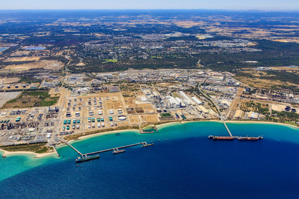


SEAF in Darwin Harbour
Darwin Harbour is one of northern Australia’s most significant tropical marine environments.
It supports major port operations, defence infrastructure, energy projects and wastewater treatment facilities, while sustaining extensive mangrove forests, seagrass beds, coral communities and rich biodiversity valued by Traditional Owners and the broader Darwin community.
SEAF will help ensure decisions about the harbour’s future are informed by the best available data and modelling. Developed by WAMSI and WABSI, it provides a shared, trusted mechanism for interpreting environmental data and delivering consistent, transparent, science-based analytics for government, industry and the community.
Darwin Harbour is a priority region for SEAF, where industrial development, environmental pressures and community interests converge. The proposed developments at Middle Arm Peninsula and ongoing port and defence activities require cumulative impact assessment beyond traditional project-by-project evaluation. By bringing together data, modelling and expertise across sectors, SEAF strengthens environmental assessments and supports long-term stewardship of this cherished harbour.
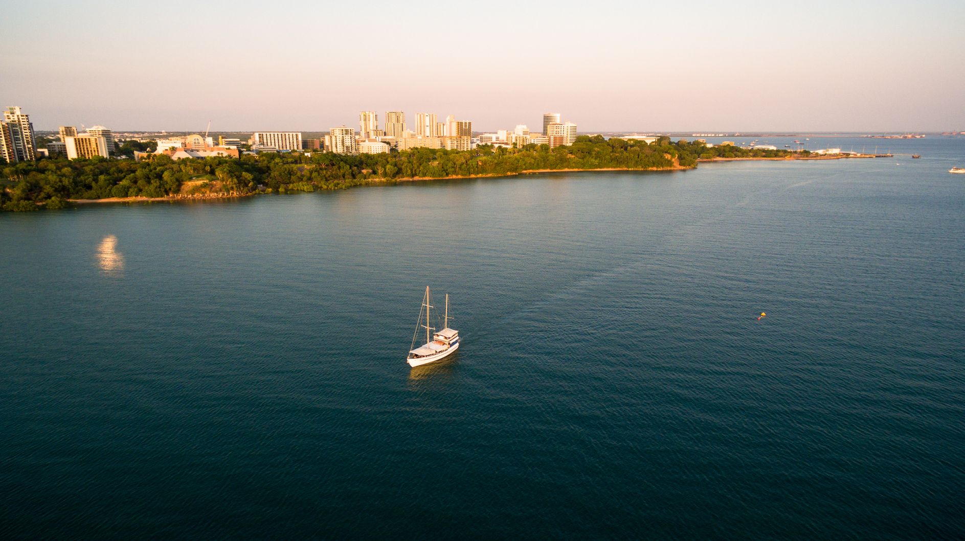
Photo: Darwin Harbour
Science enabled decisions
SEAF strengthens environmental decision-making in Darwin Harbour by building a shared, science-based foundation for understanding system function and response to change.
By integrating common data sources, validated models and collaborative analytics, SEAF improves visibility of environmental conditions and equips regulators, industry and the community to assess cumulative impacts with greater confidence and consistency.
In its initial phase, the Darwin Harbour spoke is delivering:
- A 3D hydrodynamic and sediment transport model
- An integrated biogeochemical and ecological model
- A comprehensive data catalogue drawing on over 210 datasets from more than 25 agencies
These tools provide a clearer picture of pressures on the harbour—from dredging and wastewater discharges to catchment runoff and climate variability—and enable assessment of how they interact over time.
As SEAF evolves, the Darwin Harbour spoke will expand into region-specific assessments built from shared data and validated analytics. Future products will include:
- Long-term reference simulations spanning multiple development eras
- Scenario modelling to support Environmental Impact Assessments
- Data dashboards for stakeholder communication
- Forecasting tools to guide adaptive management
Modelling Foundations
The SEAF Modelling Foundations work package for Darwin Harbour addresses limitations in data availability, model calibration and the ability to quantitatively assess cumulative impacts.
Previous work has involved reviewing past modelling efforts, synthesising available datasets, and developing an approach to an integrated modelling platform. This includes cataloguing and auditing over 210 datasets from agencies including INPEX, the Department of Logistics and Infrastructure, Bureau of Meteorology, AIMS, IMOS, the Department of Lands, Planning and Environment, and Darwin Port.
Darwin Harbour Integrated Environmental Model
The Darwin Harbour Integrated Environmental Model (DHIEM) is a modelling platform developed under the SEAF framework. It comprises a coordinated ecosystem of models and data, enabling assessment of a wide range of environmental conditions and application across different scales and questions.
DHIEM integrates:
- Historical and contemporary datasets from over 25 agencies and providers
- A 3D hydrodynamic model resolving tidal dynamics, currents and water level variability
- A wave model capturing seasonal and extreme conditions
- A sediment transport model for natural and dredge-related dynamics
- A catchment model linking river inflows and stormwater inputs
- A biogeochemical model simulating oxygen, nutrients, chlorophyll and habitat condition
This approach enables exploration of how pressures—including climate change, dredging, wastewater discharges, catchment development and industrial activity—affect environmental condition. It also supports scenario testing across three development eras: the Historical Era (pre-1990), Early Expansion Era (1990–2012) and Strategic Expansion Era (2012 to present).
DHIEM feeds directly into SEAF by providing validated, region-specific models for cumulative impact assessment, forecasting and environmental reporting. The base hydrodynamic model uses TUFLOW-FV (BMT Global), coupled with the Aquatic Ecodynamics water quality model library developed at The University of Western Australia.
The SEAF-MA Cloud Platform
A shared cloud-based platform supports integration of data and modelling analytics across disciplines. The SEAF will be used to model scenarios for developments at Middle Arm. SEAF-MA (Middle Arm) Landing Zone comprises four technologies for model, data and user management:
DHIEM integrates:
- Azure Cloud Resources – HPC compute allocation, virtual desktops, web services and storage
- Databricks – data and model analytics, notebooks, data engineering, AI/ML workflows and pipelines
- Sentient Hubs – model execution, automation, licensing and GPU/CPU VM orchestration
- GitHub – repositories, version control, provenance, release management and issue tracking
Large data storage and model archiving are supported by Pawsey Supercomputing Research Centre, enabling high-throughput access to HPC resources. This platform improves accessibility, provenance, version control, reproducibility and standardised modelling practice.
Data Integration
A central element of the Darwin Harbour SEAF spoke is a comprehensive data management framework. Over 210 datasets have been identified and catalogued, with 89 significant datasets (74%) already obtained. These span weather and climate, hydrodynamics, water quality, nutrients, light, sediment dynamics and benthic ecology.
The architecture combines elements of a data lake and data warehouse within organised cloud storage, supporting progression from raw data to curated, model-ready products. A standardised metadata template and spatial data key ensure datasets are discoverable, interoperable and traceable.
Key data providers include INPEX, the Department of Logistics and Infrastructure, Bureau of Meteorology, Australian Institute of Marine Science, Integrated Marine Observing System, Department of Lands, Planning and Environment, Darwin Port, Department of Defence, Power Water Corporation, Geoscience Australia, Charles Darwin University and the University of New South Wales.
Key Environmental Themes
Darwin Harbour is a complex tropical estuarine system shaped by its macro-tidal regime, monsoonal climate, and the interaction of natural processes and human activities.
The DHIEM platform is designed to resolve the following themes:
Hydrodynamics and Tidal Circulation
Darwin Harbour experiences some of the largest tidal ranges in Australia (6 to 8 metres on spring tides), with strong reversing currents exceeding 2 m/s. Tidal asymmetry, with ebb dominance in East Arm and flood dominance in Middle Arm, controls sediment transport and flushing patterns.
Sediment Transport and Turbidity
Sediment dynamics are dominated by tidal resuspension, with secondary contributions from monsoon‑driven waves and catchment runoff. Understanding natural turbidity cycles is critical for assessing the impacts of dredging and development on water clarity and benthic habitats.
Water Quality and Oxygen
Dissolved oxygen concentrations can decline when there are increasing cumulative development pressures. The biogeochemical model resolves oxygen budgets, nutrient cycling and benthic processes.
Temperature, Salinity and Stratification
Thermal and salinity regimes are governed by the tropical monsoon, with seasonal and inter-annual variability linked to ENSO. Episodic wet-season stratification affects water quality and ecological processes.
Benthic Habitats
The harbour supports seagrass, coral (hard and soft), macroalgae, mangroves and sponge communities. Changes in light availability, sediment deposition and water quality influence their health and extent.
Catchment Inputs and Industry Discharges
Seasonal river inflows and wastewater discharges drive nutrient loads and freshwater inputs, requiring quantification for cumulative assessment.
